 Close
CloseMapping
The Sunshine Coast Regional District’s mapping service maintains information about properties, service boundaries, zoning, utilities and environmental data. This information is made available to staff and the public through interactive and printed maps. This service is also responsible for assigning addresses within the Regional District.
Contact mapping at 604-885-6805 or mapping@scrd.ca.
Services
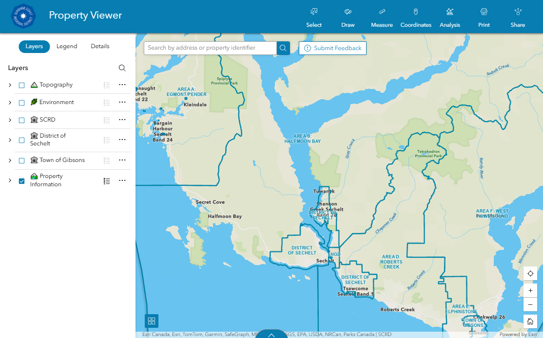
The Property Viewer provides information about properties and services across the region. Search for parcels, print maps, view historical imagery and explore new features such as enhanced property reports and analysis tools.
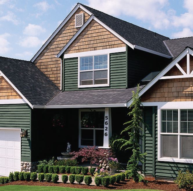
The SCRD maintains a formal civic addressing system for all electoral areas including the Town of Gibsons, the District of Sechelt, the shíshálh Nation Government District, as well as the islands.
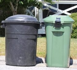
This tool will help you find when your garbage or green bin gets picked up.
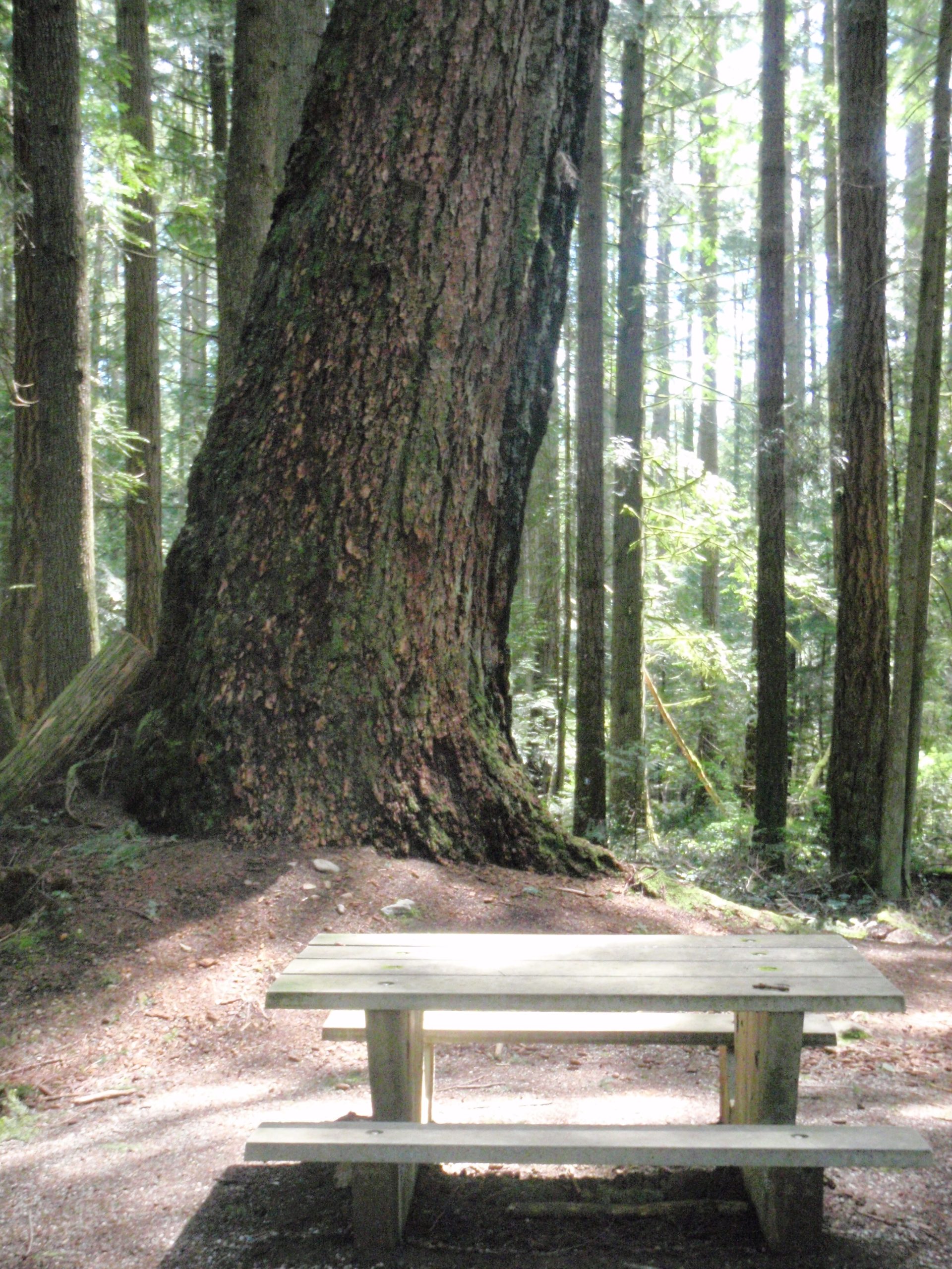
This map features a variety of parks, trails, beach accesses, playgrounds and sports fields managed by the SCRD.
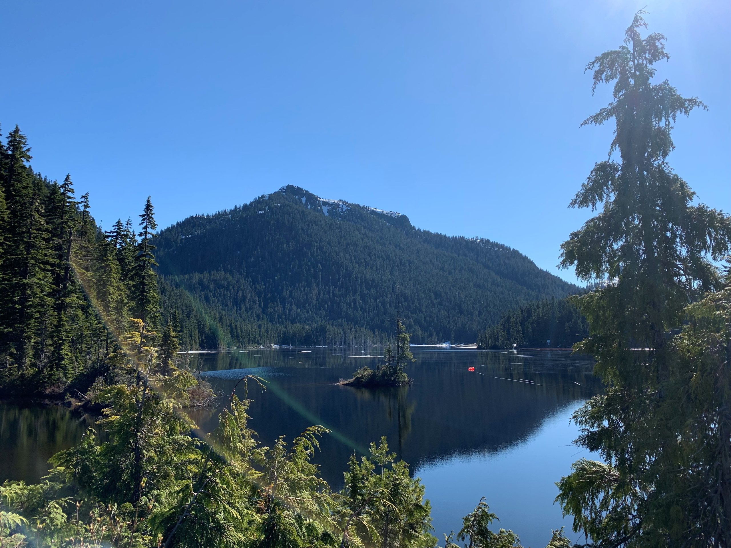
Ever wonder where you get your water from? Find out more about each water system managed by the SCRD.